Farm Mapping & Aerial Imagery
Farm Mapping & Aerial Imagery
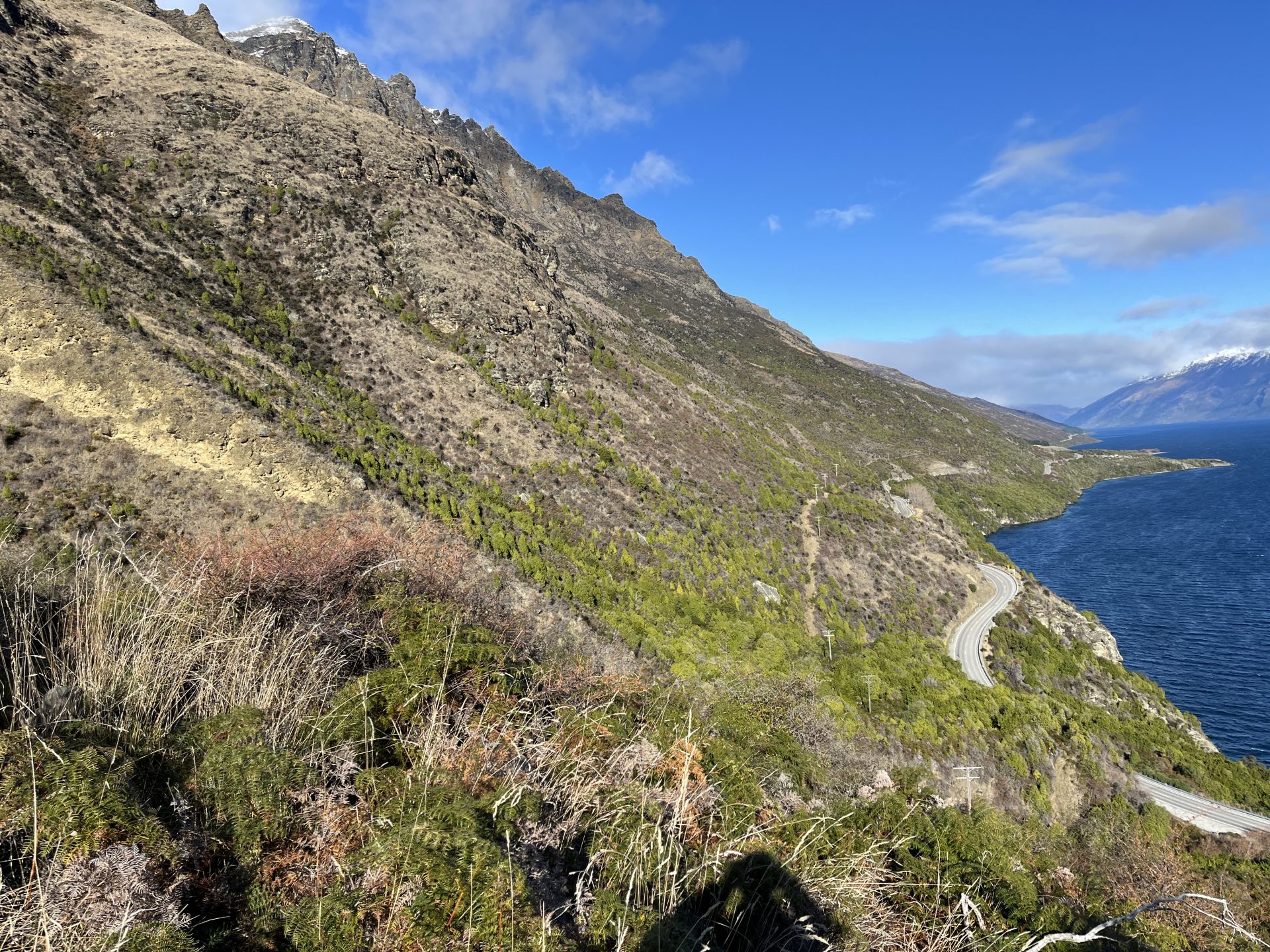
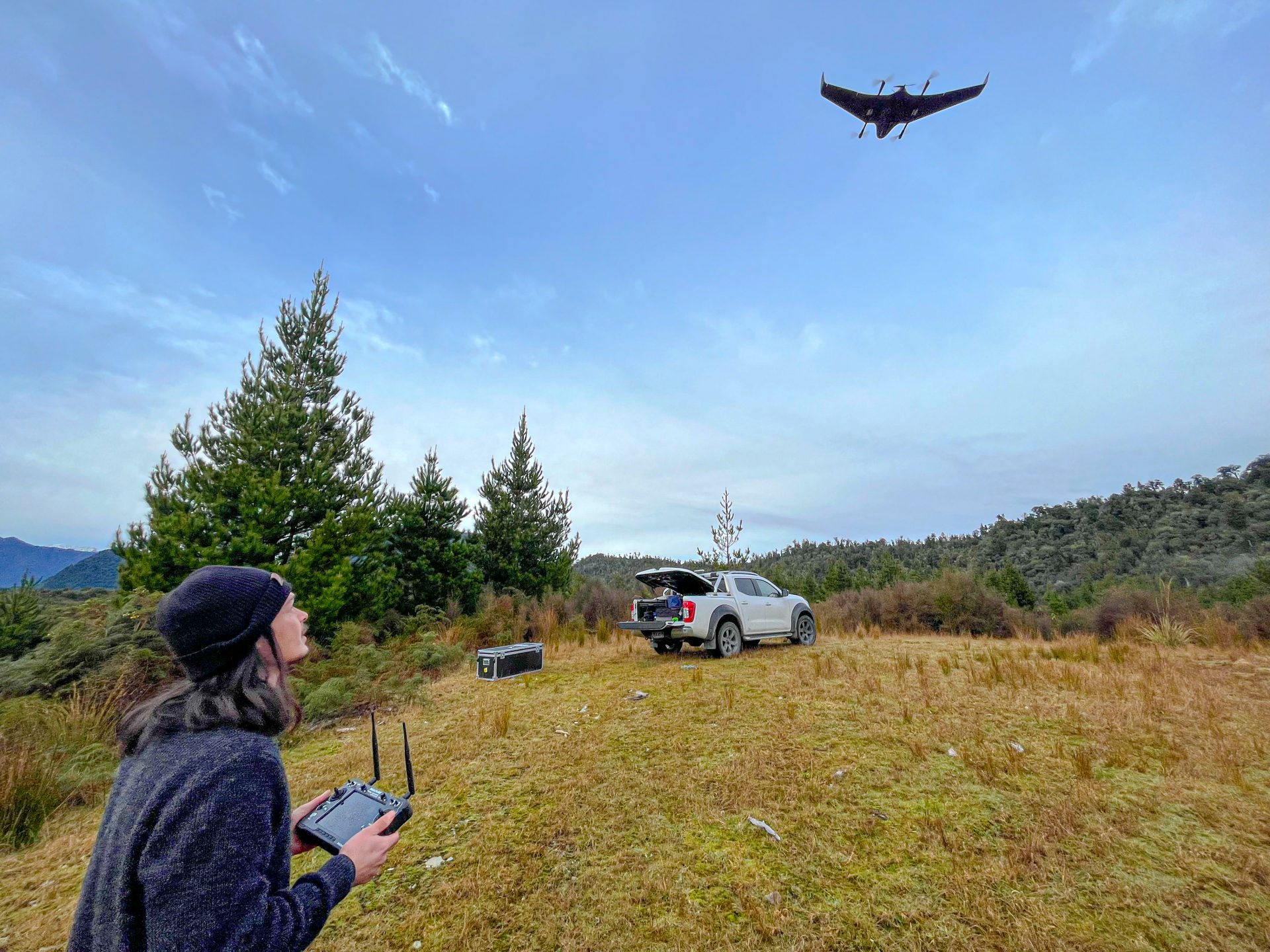
We’ve partnered with Dronescape (www.dronescape.co.nz) to provide our clients with some of the highest quality drone aerial imagery available to New Zealander’s. Dronescape have a fleet of quad copters, and their latest technological advancement of the fixed wing DeltaQuad, which allow us to capture high resolution, georeferenced, accurate imagery, and maps, anywhere in New Zealand.
Key services
- Farm mapping
- Drone orthomosiac imagery and photogrammetry
- ETS forest land mapping (native regeneration, space planted poplar, pine)
- River, waterway, and wetland mapping for farm planning and consenting
- Drone photography and video